
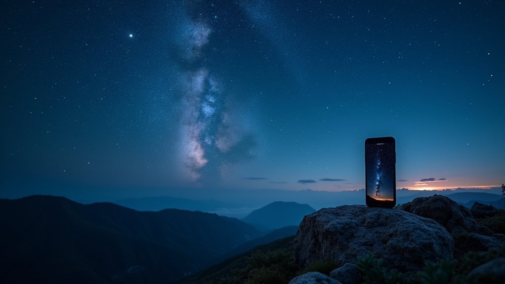
“Light Pollution Map – Dark Sky” is the best app for finding pristine dark sky locations. You’ll get interactive maps showing light pollution levels, customizable filters for ideal viewing spots, and real-time aurora and meteor shower alerts. The app includes navigation features to guide you to remote sites and lets you save favorite locations for future visits. Discover how this all-encompassing tool can transform your stargazing experience from ordinary to extraordinary.
What’s The Best App For Dark Sky Sites?
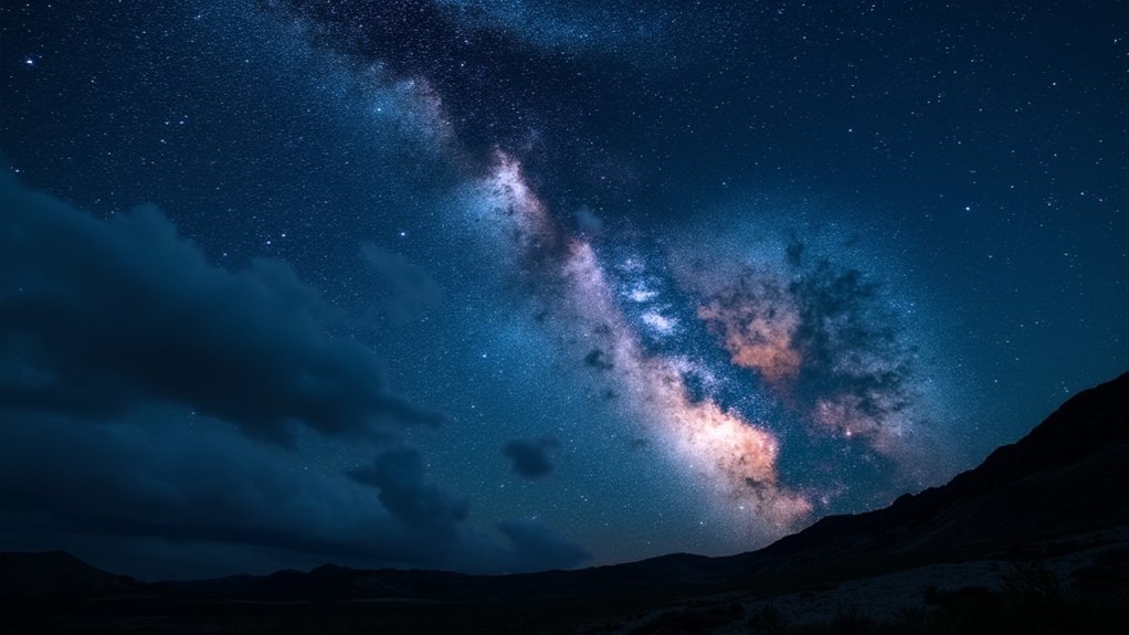
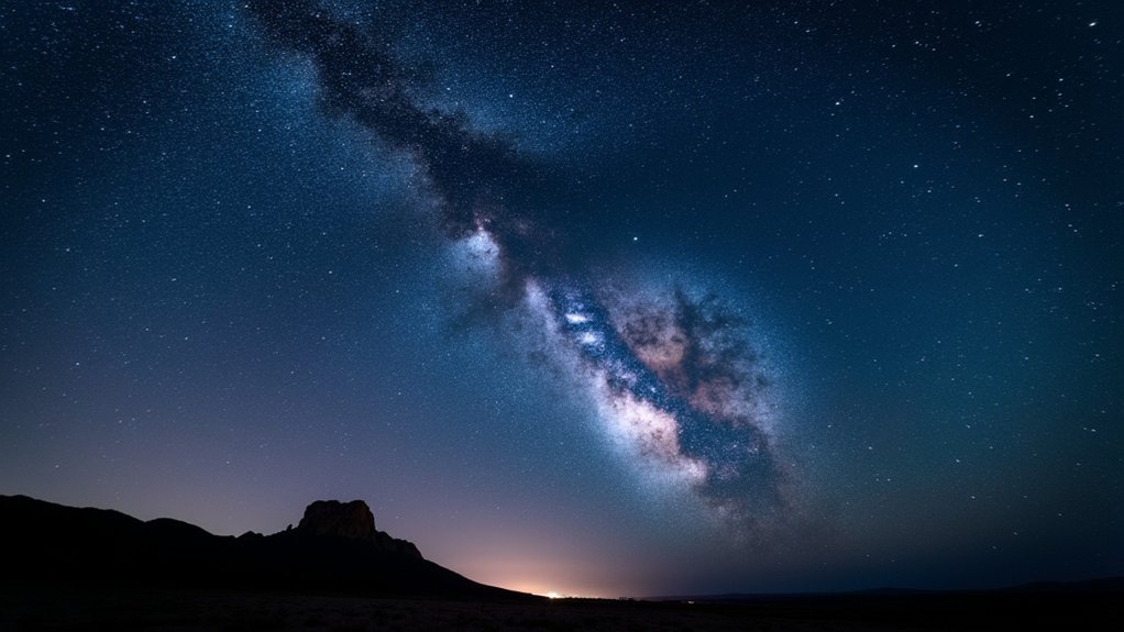
When venturing out for stargazing adventures, finding truly dark skies can make all the difference between a mediocre and magnificent experience.
The “Light Pollution Map – Dark Sky” app stands out as the premier stargazing app for locating ideal viewing locations.
This powerful tool displays light pollution levels through an interactive map, helping you discover perfect dark skies for your night sky observations.
You’ll appreciate the customizable filters that let you identify and save favorite locations based on darkness quality.
The app also delivers real-time information on aurora visibility and alerts for upcoming meteor showers.
Never get lost on your way to remote viewing spots thanks to integrated navigation options.
Regular updates based on user feedback guarantee you’ll always have accurate, current data for planning your stargazing expeditions.
Understanding Light Pollution Maps and Why They Matter
Light pollution maps reveal how artificial brightness impacts your ability to observe celestial objects, showing stark differences between urban areas and pristine dark sky locations.
You’ll quickly understand why preserving dark skies matters when you see how dramatically light pollution reduces the visibility of stars, nebulae, and the Milky Way.
These visual tools help you identify and protect remaining dark sky sites while highlighting the urgent need for lighting management policies in your community.
Brightness Impact Assessment
To truly maximize your stargazing experience, understanding light pollution maps becomes essential for finding ideal viewing locations. When you examine these dark sky maps, you’ll notice a brightness scale from 1-9, where lower numbers indicate minimal light pollution and better stargazing conditions.
Zoom in on specific areas to assess how local light sources affect night sky visibility. Even slight light pollution can dramatically reduce your ability to observe faint celestial events.
The best astronomy apps incorporate accurate data from satellites and local sources, allowing you to make informed decisions about observation sites.
Take observation notes on how brightness ratings correlate with your actual viewing experience. Your feedback contributes to improving these tools, making them more valuable for both amateur enthusiasts and serious astronomers seeking pristine dark skies for excellent viewing conditions.
Dark Sky Preservation
As our world grows increasingly illuminated, dark sky preservation has become a vital environmental concern beyond just astronomy interests.
Light pollution maps help you understand where artificial light impacts our night sky, allowing you to locate genuine dark sky sites for ideal stargazing experiences.
The Light Pollution Map application offers interactive maps that visualize light pollution levels with remarkable accuracy.
These tools aren’t just for astronomy enthusiasts—they’re essential for environmental conservation. Excessive artificial light disrupts ecosystems and wildlife behavior while diminishing the visibility of celestial objects.
When planning your stargazing trips, consider environmental factors like humidity and wind alongside light pollution data.
Top Dark Sky Finder Apps for Stargazers
You’ll find several powerful tools to navigate light pollution when searching for pristine night skies.
Apps like “Light Pollution Map – Dark Sky” and “Scope Nights” provide interactive maps with real-time data that transform your stargazing planning process.
These digital resources become particularly valuable for astro-photographers who need precise darkness measurements to capture celestial objects effectively.
Navigating Light Pollution
Finding pristine dark skies has become increasingly challenging in our light-saturated world, which is why dedicated apps like “Light Pollution Map – Dark Sky” have become essential tools for serious stargazers.
This app offers an interactive mapping system with regularly updated light pollution indicators that help you locate ideal stargazing locations away from urban glow.
For the best planning experience, utilize the app’s darkness countdown timers and local weather forecast features to time your visits perfectly.
You’ll appreciate the ability to save favorite dark sky sites for future reference. To guarantee truly dark conditions, cross-reference your findings with complementary resources like Dark Site Finder and Clear Sky Chart.
For ultimate accuracy, check multiple data sources, including the website lightpollutionmap.info and local SQM readings before starting on your stargazing adventure.
Astro-Photography Essential Tools
For astrophotography enthusiasts, having the right apps to locate truly dark skies can make the difference between capturing stunning celestial images or ending up with washed-out disappointments. You’ll need to combine light pollution data with accurate weather forecasts to maximize your chances of success.
| App | Key Features | Best For |
|---|---|---|
| Light Pollution Map | Highly customizable, interactive maps | Detailed location planning |
| Dark Site Finder | Combined pollution maps & weather data | All-in-one preparation |
| Clear Sky Chart | Forecasts for 6,000+ observation sites | Weather-focused planning |
Scope Nights offers iPhone users an excellent alternative, combining dark sky locations with weather forecasts specifically for celestial events. For ideal results, you should use multiple resources together when planning your stargazing or astrophotography excursions to truly dark sky locations.
Key Features to Look for in Dark Sky Location Apps
When selecting a dark sky location app, prioritizing certain features will greatly enhance your stargazing experience. Look for apps with highly accurate interactive dark maps that show light pollution levels to help you find ideal sky viewing locations.
The best apps include night mode to protect your vision while identifying objects in the sky. Essential features include live aurora borealis visibility tracking and countdown timers that pinpoint the darkest period of night.
You’ll want real-time cloud coverage indicators and local temperature readings to evaluate conditions before heading out. Choose apps that allow you to save favorite locations with navigation options for repeat visits.
These practical tools eliminate guesswork, ensuring you’ll maximize your time under truly dark skies rather than driving to disappointing viewing conditions.
How Accurate Are Dark Sky Apps? Data Sources Explained
Dark sky apps offer impressive capability to locate stargazing spots, but their accuracy depends entirely on their underlying data sources.
Most apps leverage satellite imagery and ground observations to map light pollution, varying widely in reliability based on how current their datasets are.
While apps like Light Pollution Map let you zoom into specific areas to identify individual light sources for planning stargazing trips, they can’t account for real-time variations.
User-generated data from SQM devices often reveals discrepancies between app predictions and actual conditions.
Remember that environmental factors such as humidity, wind, and local light interference affect visibility in ways these apps can’t always predict.
For best results, use these tools as general guides rather than definitive sources when seeking truly dark skies.
Using Dark Sky Apps to Plan Your Astronomy Outing
Planning your stargazing trips becomes remarkably easier with dedicated dark sky apps that go beyond just identifying locations. The “Light Pollution Map – Dark Sky” app transforms your astronomy outing preparation with thorough tools for best experiences.
When planning your next stargazing adventure, leverage these essential features:
- Save favorite dark sky sites for quick navigation and return visits, eliminating the need to research locations repeatedly.
- Monitor local weather indicators including temperature and cloud coverage to guarantee ideal viewing conditions.
- Utilize the darkness countdown timer to pinpoint the perfect time for observing celestial objects.
The app’s live alerts for significant astronomical events guarantee you never miss important phenomena.
Frequently Asked Questions
What Is the Best App for Viewing the Night Sky?
For viewing the night sky, SkySafari 7 Plus is your best option. You’ll get an AR-enabled map with 2.5 million stars, detailed celestial data, and impressive interactive features that enhance your stargazing experience.
How Do I Find Dark Sky Areas?
You can find dark sky areas using the Light Pollution Map app or website, Dark Site Finder, or Scope Nights (iPhone). These tools show light pollution levels and help you locate ideal stargazing spots with minimal artificial light.
What Is the Best Free Stargazing Website?
The best free stargazing website is lightpollutionmap.info, where you’ll find detailed light pollution data. You can also use Dark Site Finder and Clear Sky Chart to plan your stargazing adventures with accurate conditions and forecasts.
What Is the Best App to Replace Dark Sky?
Weather Underground is your best Dark Sky replacement. You’ll appreciate its hyper-local forecasts and customizable alerts. Tomorrow.io and AccuWeather are excellent alternatives if you need real-time updates for planning outdoor activities.
In Summary
Finding the perfect dark sky site doesn’t have to be complicated. With the right app, you’ll quickly locate pristine skies away from light pollution. Whether you’re using Dark Sky Finder, Light Pollution Map, or SkySafari, you’ll maximize your stargazing experience by checking reliable data before heading out. Remember to verify weather conditions alongside darkness ratings, and you’ll never waste a trip to see the cosmos in all its glory.


Leave a Reply