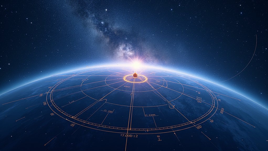
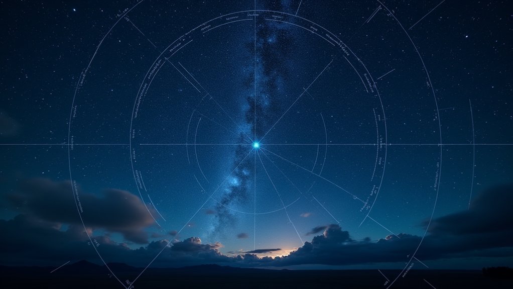
To master celestial coordinates, practice converting between equatorial (RA/Dec) and horizontal (altitude/azimuth) systems using simple formulas. Track stars hourly as they move at 15° per hour due to Earth’s rotation. Use star charts to locate objects, adjusting for your latitude and current time. Try plotting constellations from coordinates, measuring planetary positions, and predicting stellar locations throughout the night. These exercises will transform your stargazing from random scanning to precise celestial navigation.
Understanding the Celestial Sphere and Coordinate Basics

When you gaze up at the night sky, you’re looking at what astronomers conceptualize as the celestial sphere—an imaginary dome surrounding Earth that helps map the positions of stars and other celestial objects.
This conceptual framework provides a foundation for locating anything in the sky using two primary coordinate systems.
The first system uses Right Ascension and Declination, similar to Earth’s longitude and latitude. Right Ascension measures eastward distance around the celestial equator, while Declination indicates angular distance north or south of it.
For practical stargazing, you’ll often use altitude and azimuth coordinates instead. Altitude measures height above your horizon (0° to 90°), while azimuth indicates direction along the horizon measured clockwise from true north (0° to 360°).
These coordinates change based on your location and time of observation.
Converting Between Equatorial and Horizontal Coordinates
Although equatorial coordinates remain fixed relative to the stars, you’ll need to convert them to horizontal coordinates to actually locate objects in your night sky. This transformation requires knowing your latitude and calculating the hour angle of the star, which changes throughout the night.
To find a star’s altitude, use this formula:
altitude = arcsin(sin φ sin δ + cos φ cos δ cos H)
For azimuth, calculate:
azimuth = arctan((sin H) / (cos H sin φ – tan δ cos φ))
Remember to adjust for the proper quadrant when determining azimuth.
While RA and Dec remain constant for a given star, its altitude and azimuth continuously change as Earth rotates. Mastering these conversions will greatly improve your star-finding abilities and enhance your celestial navigation skills.
Plotting Stars Using Right Ascension and Declination

To plot stars accurately on a celestial map, you’ll need to understand the grid system formed by Right Ascension and Declination coordinates.
RA measures eastward angular distance along the celestial equator (from 0 to 24 hours), while Dec indicates angular distance north or south of this equator (from +90° to -90°).
This coordinate grid works like Earth’s longitude and latitude system, giving you a precise framework for locating any star in the night sky.
Subheading Discussion Points
Finding your way across the night sky becomes considerably easier once you’ve mastered the celestial coordinate system. Right Ascension (RA) and Declination (Dec) work together like longitude and latitude on Earth, helping you locate any star precisely.
To plot a star, you’ll first follow its RA along the celestial equator, then move vertically by its Dec value. The azimuth of the star can be determined once you’ve established these coordinates.
| Celestial Coordinate | Measurement Units | Range | Example |
|---|---|---|---|
| Right Ascension | Hours (h:m:s) | 0-24h | 18h 36m 56s |
| Declination | Degrees (°) | -90° to +90° | +38° 47′ |
| Vega (α Lyrae) | RA: 18h 36m | Dec: +38° 47′ | Summer star |
| Sirius (α Canis Majoris) | RA: 6h 45m | Dec: -16° 43′ | Winter star |
Celestial Grid Basics
The celestial grid forms the foundation for all astronomical navigation, much like how a map grid helps you find locations on Earth.
To plot stars, you’ll use two coordinates: Right Ascension (RA) and Declination (Dec).
Think of RA as your celestial longitude, measured in hours from 0 to 24 around the celestial sphere. Each hour equals 15 degrees of angular distance.
Dec functions as your celestial latitude, ranging from +90° at the north celestial pole to -90° at the south celestial pole.
When locating stars, first find the RA along the celestial equator, then move vertically to the appropriate Dec. This creates a precise pinpoint on the celestial sphere.
Mastering this coordinate system is essential for identifying constellations and individual stars using star charts.
Measuring Altitude and Azimuth in the Night Sky
When locating celestial objects in the night sky, you’ll need to understand the horizontal coordinate system of altitude and azimuth. Altitude measures an object’s angle above your horizon (0° to 90°), while azimuth indicates direction along the horizon measured clockwise from true north (0° to 360°).
To calculate these coordinates, you’ll use the object’s declination along with your observation position. The formula for altitude involves the observer’s latitude, the star’s declination, and its hour angle.
- Altitude equals 0° when an object is exactly on your horizon
- You’ll find the zenith point at 90° altitude directly overhead
- Azimuth calculations require quadrant adjustments based on hour angle
- Your latitude considerably affects how objects appear in your local sky
- Converting between coordinate systems becomes essential for tracking objects throughout the night
Calculating Stellar Positions Throughout the Night
You’ll need to track a star’s hourly position changes by calculating its coordinates at different times, adjusting for Earth’s 15° rotation per hour.
The altitude-azimuth tracking method converts celestial coordinates into your local reference frame, requiring your latitude, the star’s declination, and its hour angle as key inputs.
With these calculations mastered, you can predict a star’s complete path across your night sky, from its rise point on the eastern horizon to its setting point in the west.
Hourly Position Calculation
As Earth rotates steadily on its axis, stars appear to move across our night sky at the predictable rate of 15 degrees per hour—equivalent to one hour of Right Ascension. To track a star’s journey from East to West, you’ll need to calculate its position at different times throughout the night.
For your first problem, select a bright star visible in your region and note its initial position in RA.
- Add 15° to the star’s RA for each hour elapsed since its rise
- Monitor how the star’s altitude increases until reaching maximum at the meridian
- Practice using star charts to verify your calculated positions
- Remember that stars rising in the East will culminate at their highest point at meridian crossing
Track timing carefully—a star visible at 8 PM will move 45° westward by 11 PM.
Altitude-Azimuth Tracking Method
The hourly system provides one method for tracking stars, but the altitude-azimuth system offers a more practical approach for field observations. When you’re stargazing, you’ll need to locate objects based on their position relative to your horizon and north point.
To track STAR B throughout the night, you’ll measure two coordinates:
| Coordinate | Description | Range | Direction | Example |
|---|---|---|---|---|
| Altitude | Angular height | 0°-90° | Up from horizon | 45° up |
| Azimuth | Horizontal angle | 0°-360° | Clockwise from north | 135° SE |
Use an arrow to show the path STAR B will follow as Earth rotates. You’ll notice it rises in the east and sets in the west, shifting approximately 15° westward each hour. This system translates complex celestial coordinates into directions you can actually point to in the night sky.
Star Path Prediction
Predicting stellar positions throughout the night enables you to locate specific stars at any given hour without constantly referencing star charts.
By understanding Earth’s 15-degree hourly rotation rate, you can calculate when any celestial object will reach its peak visibility.
- Convert between Local Sidereal Time (LST) and a star’s Right Ascension (RA) to determine its hour angle (H).
- Calculate a star’s altitude based on its hour angle, declination, and your latitude.
- Anticipate when a star will cross the meridian by comparing its RA to the current LST.
- Adjust observations seasonally as different constellations dominate the night sky.
- Use the relationship between hour angle and azimuth to predict a star’s exact position relative to your horizon.
Master these calculations to plan ideal viewing times without technology assistance.
Identifying Constellations Using Coordinate Systems
Finding your way around the night sky becomes considerably easier once you’ve mastered celestial coordinate systems. Right Ascension (RA) and Declination (Dec) function as your celestial GPS, allowing you to pinpoint constellations with precision regardless of your location.
| Coordinate | Function | Example Use |
|---|---|---|
| RA/Dec | Location mapping | Plotting Cygnus at RA 20h22m, Dec +40° |
| Altitude/Azimuth | Observer-relative position | Finding Lyra at 65° altitude, 230° azimuth |
| Seasonal Position | Time-based visibility | Tracking Orion’s winter appearance |
When practicing, use bright reference stars like Vega or Deneb to orient yourself. Star charts help translate these coordinates, letting you predict exactly where to find each constellation as seasons change. You’ll soon identify patterns effortlessly by combining coordinate knowledge with visual recognition skills.
Seasonal Changes in Star Visibility and Positioning
As Earth orbits the Sun throughout the year, different sections of the night sky become visible during evening hours, creating a predictable pattern of seasonal star visibility.
You’ll notice this cosmic calendar as familiar constellations appear and disappear with the changing seasons.
- Autumn skies showcase Pegasus and Andromeda, while Orion begins its ascent later in the night
- Winter features Orion prominently, with different Right Ascension (RA) values than summer constellations
- Your zenith point—the area directly overhead—shifts seasonally, affecting which star patterns dominate your view
- Spring and summer bring different constellations into prime evening viewing positions
- The apparent motion of stars varies by season, with some rising earlier or later depending on Earth’s orbital position
Understanding these patterns helps you predict which celestial objects will be visible during specific months.
Locating Planets Using Celestial Coordinates
To locate planets in the night sky, you’ll need to grasp coordinate systems like Right Ascension and Declination, which function as celestial longitude and latitude.
You can track planetary motion patterns by plotting their changing coordinates on star charts and noting how planets move against the background stars over time.
Try applying these concepts with practical exercises: calculate a planet’s current position using hour angle formulas, then use your findings to locate Saturn or Jupiter through your telescope.
Coordinate Systems Explained
Locating planets in the vast night sky becomes surprisingly precise once you’ve mastered celestial coordinates. The celestial coordinate system mirrors Earth’s geography, with Right Ascension (RA) serving as longitude and Declination (Dec) as latitude.
When tracking planets, you’ll need:
- RA measurements in hours, minutes, and seconds, dividing the celestial sphere into 24 hours
- Dec measurements in degrees north or south of the celestial equator
- A detailed star chart showing both coordinates alongside familiar constellations
- Knowledge of how these coordinates shift due to Earth’s rotation and orbital motion
- The specific RA and Dec values for your target planet at the current date
These coordinates create a universal reference system that lets you pinpoint any object’s exact location regardless of your observation point on Earth.
Planetary Motion Patterns
Unlike fixed stars that maintain their positions relative to one another, planets follow distinct motion patterns across the celestial sphere.
You’ll need to understand their Right Ascension (RA) and Declination (Dec) coordinates to track them accurately.
When locating planets, remember they typically twinkle less than stars due to their larger apparent size, making identification easier.
Plot Saturn, Jupiter, or Neptune on your star charts to determine their positions relative to nearby constellations.
You can predict seasonal visibility changes by understanding orbital positions and Earth’s movement around the Sun.
For precise observations, combine the planet’s RA and Dec with your location coordinates to calculate its altitude and azimuth in your local sky.
This approach lets you anticipate where to point your telescope on any given night.
Practical Application Exercises
When you’re ready to put your understanding of celestial coordinates into practice, nothing beats hands-on experience with real planetary observations.
By using RA and Dec coordinates, you’ll find planets like Saturn with greater confidence as you navigate the night sky.
- Use current star charts to locate Saturn’s precise RA and Dec coordinates for tonight’s viewing
- Compare the brightness of Saturn to nearby stars—note how it shines steadily while stars twinkle
- Practice converting time to RA movement (1 hour = 15° of sky rotation) to anticipate planetary positions
- Track Saturn’s position relative to familiar constellations over several weeks to observe its orbital motion
- Create a seasonal viewing calendar noting when Saturn rises and sets to maximize your observation opportunities
These exercises transform abstract coordinates into practical skills for any aspiring astronomer.
Working With Star Charts and Planispheres
The fundamental tools in any astronomer’s kit, star charts and planispheres transform the complex celestial sphere into manageable maps you’ll use to navigate the night sky.
These tools employ the celestial coordinate system of Right Ascension (measured in hours, minutes, seconds) and Declination (measured in degrees north/south of the celestial equator).
When using star charts, always consider your specific location and observation time—both factors dramatically affect which celestial objects you’ll see.
Seasonal changes occur as Earth orbits the Sun, requiring different charts throughout the year.
For practical stargazing, adjust your planisphere to match your latitude and current time.
This simple rotation will accurately display the visible portion of the sky from your location, making it easier to identify constellations and locate specific celestial objects.
Applying Parallax Principles to Measure Stellar Distances
Once you’ve mastered reading star charts, you’re ready to explore the fundamental technique that allows astronomers to measure the vast cosmos: stellar parallax. This method relies on the apparent shift in a star’s position when viewed from different points in Earth’s orbit.
To calculate a star’s distance in parsecs, simply divide 1 by its parallax angle in arcseconds. For example, if you observe a parallax of 0.25 arcseconds, the star is 4 parsecs away.
- The smaller the parallax angle, the more distant the star
- Earth’s orbit provides a baseline of approximately 2 AU for measurements
- Nearby stars like Proxima Centauri show larger parallax shifts than distant ones
- Modern space telescopes can measure parallaxes as small as 0.001 arcseconds
- Beyond a few hundred parsecs, alternative distance measurement techniques become necessary
Timing and Prediction Exercises for Celestial Events
Practical application of sky coordinates transforms your stargazing from random viewing to precise prediction.
When you understand that the sky moves at a rate of 1 hour of Right Ascension per hour of time, you’ll gain the ability to calculate exactly when objects will appear.
For instance, if you spot Orion rising at 10:00 PM, you can calculate that a celestial object 2.5 hours east in RA will rise around 12:30 AM.
By incorporating the zenith as your reference point, you’ll accurately predict the altitude of stars throughout your observation session.
This knowledge lets you plan seasonal viewing schedules too.
You’ll know which constellations will be visible months in advance based on Earth’s orbital position, making your stargazing sessions more productive and enjoyable.
Field Exercises for Practical Coordinate Application
Turning theoretical knowledge into star-finding skill requires hands-on practice in the field. Take your celestial navigation skills beyond the classroom by estimating altitude and azimuth using local reference points like the horizon and zenith.
You’ll build confidence as you connect abstract coordinates to real sky objects.
- Practice measuring stars’ altitude and azimuth at different times to track their movement across the night sky
- Use star charts to locate specific objects based on their RA and Dec coordinates
- Partner with fellow observers to draw constellation maps from coordinates, improving communication techniques
- Compare altitude measurements against reference data to improve accuracy
- Establish personal reference points in your local observing area to quickly estimate celestial positions without instruments
Frequently Asked Questions
How to Read Sky Coordinates?
You’ll read sky coordinates using Right Ascension (hours:minutes:seconds) and Declination (degrees). Find objects by locating RA like longitude and Dec like latitude on celestial maps or with digital planetarium apps.
What Are the Approximate Coordinates of Regulus?
Regulus has approximate coordinates of Right Ascension 10 hours 8 minutes and Declination +11 degrees 58 minutes. You’ll find this bright star in Leo about 79 light-years from Earth, visible in spring evenings.
What Coordinates Are Used for Star Locations?
You’ll find stars using celestial coordinates: Right Ascension (measured in hours, minutes, seconds) and Declination (measured in degrees north/south of celestial equator). This system works like longitude and latitude for the night sky.
What Two Coordinates Are Used to Locate a Point in the Sky?
You use Right Ascension (RA) and Declination (Dec) to locate points in the sky. RA works like longitude measured in hours, while Dec functions as latitude measured in degrees from the celestial equator.
In Summary
You’ve now mastered the fundamentals of celestial coordinates through these practice problems. You’ll find it easier to navigate the night sky, locate specific objects, and predict astronomical events. Keep practicing these skills regularly, and don’t forget to apply them during your next stargazing session. With these coordinate systems in your toolkit, you’re well-equipped to explore the universe with precision and confidence.


Leave a Reply