
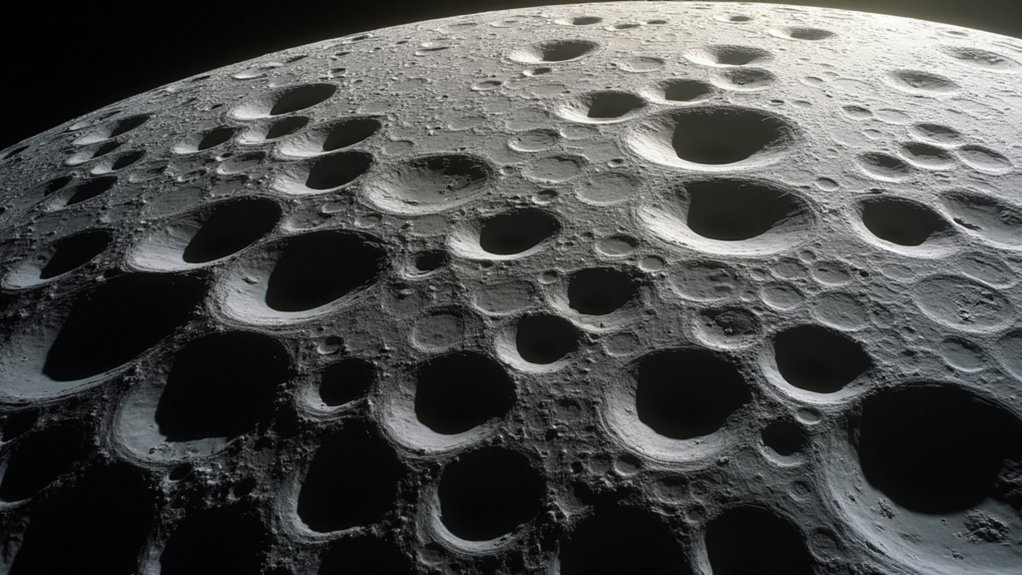
The Moon’s surface contains approximately 1.3 million craters, varying in density between the heavily-cratered highlands and sparser maria regions. You’ll find craters ranging from tiny pockmarks to massive formations exceeding 300km in diameter, each featuring distinct characteristics like raised rims and central peaks. Modern lunar exploration relies on these craters as natural navigation markers, functioning like GPS waypoints for spacecraft positioning. From ancient Copernicus to dramatic Tycho, these impact structures reveal billions of years of solar system history.
Moon Craters: Complete Visual Guide and Surface Navigation
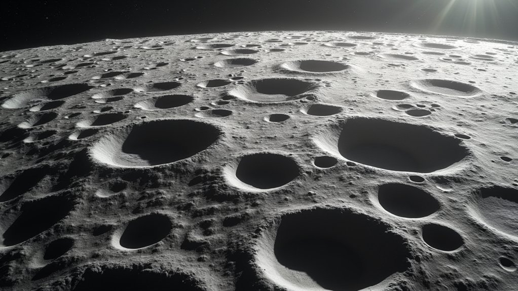
Pockmarks of cosmic history, the Moon’s surface hosts an astonishing 1.3 million craters that tell the tale of our nearest celestial neighbor.
When you’re exploring lunar topography, prominent craters like Copernicus and Tycho aren’t just geological marvels—they’re essential navigational beacons for spacecraft approaching the lunar surface.
Modern lunar navigation systems leverage these distinctive formations through sophisticated algorithms that match real-time crater imagery with existing databases.
Crater recognition technology transforms lunar landmarks into digital waypoints, ensuring pinpoint spacecraft touchdown in the Sea of Tranquility and beyond.
This technology enables precision landings even in challenging terrain.
As you study these craters, you’ll appreciate how their size, depth, and distribution provide significant data for mission planning.
The Formation and Anatomy of Lunar Craters
While navigational landmarks guide our exploration, understanding how these lunar features form reveals the Moon’s dramatic history. When meteoroids, asteroids, and comets slam into the lunar surface at high velocities, they create the distinctive depressions you’ll see scattered across the Moon.
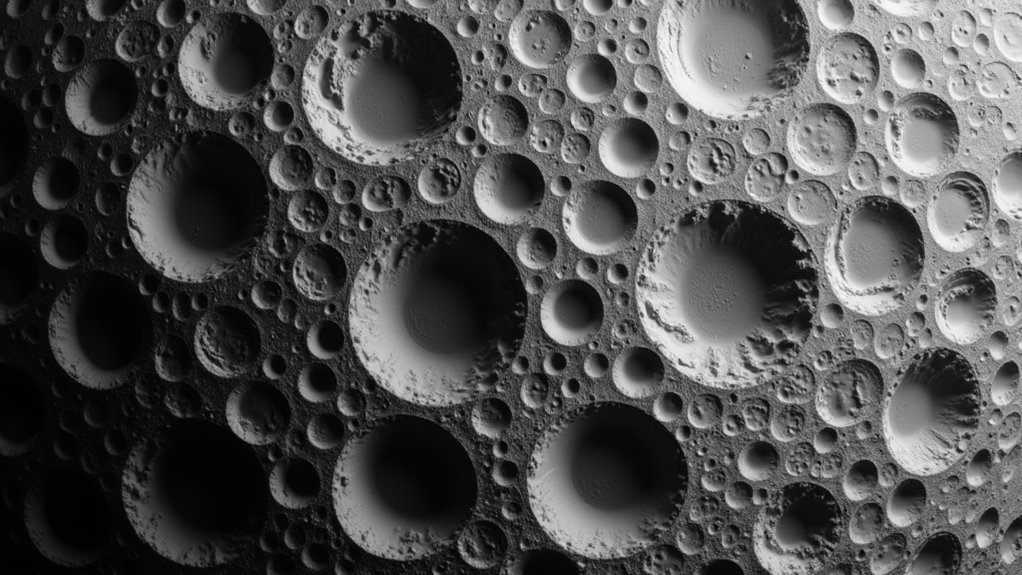
These craters vary dramatically in size—from meter-wide pockmarks to massive formations exceeding 300 kilometers in diameter, like the impressive Tycho crater stretching 86 kilometers across and plunging 4.8 kilometers deep.
You’ll notice most craters share common anatomical features: raised rims, flat floors, and often central peaks formed by surface rebound after impact.
You can determine a crater’s relative age by its appearance—older formations appear eroded and degraded, while younger craters maintain crisp, well-defined features.
Major Crater Types and Classification Systems
As you observe the lunar landscape, you’ll notice that scientists classify craters based on several key characteristics rather than treating them as uniform features.
Lunar crater classification begins with size categorization: small (under 1km), medium (1-10km), and large (exceeding 10km).
Morphology provides another classification dimension, distinguishing between simple bowl-shaped craters and complex ones featuring central peaks and terraced walls. The depth-to-diameter ratio—typically 1:10 for large craters—offers additional classification criteria.
Scientists also categorize craters by their formation process, separating impact craters created by meteoroid collisions from those with volcanic origins.
Notable examples illustrate these classifications: Tycho exemplifies a complex crater with its distinctive ray system, while Plato represents a large, flat-floored impact crater you’ll easily recognize through telescopes.
Prominent Named Craters Worth Observing
Now that you understand crater classifications, let’s explore specific lunar features you can observe with your telescope.
Plato, at 51.6° N and 9.3° W, stretches 68 miles across with a relatively shallow 0.6-mile depth. You’ll find Copernicus at 9.7° N and 20° W, spanning 58 miles with impressive ray systems extending from its 2.4-mile deep floor.
Tycho stands out at 43.31° S and 11.36° W with striking rays radiating from its 54-mile diameter and 3-mile depth.
For eastern lunar observers, Langrenus (8.9° S, 60.9° E) offers rugged terrain within its massive 82-mile diameter.
Don’t overlook Manilius at 14.5° N and 9.1° E – though smaller at 24 miles across, its 2-mile depth creates dramatic shadows during lunar sunrise and sunset.
Crater Distribution Patterns Across Lunar Regions

When you scan the lunar surface through your telescope, you’ll immediately notice the stark contrast between the heavily cratered highlands and the smoother, darker maria regions. This uneven crater distribution pattern forms a natural Navigation System for amateur astronomers.
| Region Type | Crater Density (per million km²) |
|---|---|
| Highlands | 100-200+ |
| Maria | 10-50 |
| Polar Areas | 150-180 |
| Shift | 70-120 |
| Impact Rays | Varies widely |
The highlands contain most craters larger than 1km, hosting nearly 1 million of the Moon’s 1.3 million total craters. Maria regions show fewer impacts due to their younger volcanic surfaces. Using hexagonal tessellation mapping, you’ll find these distribution patterns reveal the Moon’s complex geological history and provide orientation landmarks during your observations.
Using Craters as Navigation References for Exploration
Lunar craters function as the cosmic equivalent of GPS waypoints for spacecraft navigation and exploration missions. When you’re operating a lunar lander, crater detection algorithms can autonomously match observed crater patterns with pre-mapped databases, enabling precise positioning even in lost-in-space scenarios.
The CNav system and similar technologies leverage these distinctive lunar features through:
Lunar craters serve as cosmic landmarks, enabling spacecraft to navigate with precision through the vast emptiness of space.
- Optical navigation techniques that identify unique crater rim characteristics
- Matching algorithms that compare real-time imagery against the catalog of over seven million mapped lunar craters
- Position and attitude estimation calculations that enable autonomous precision landing
This navigation approach builds upon techniques pioneered during Apollo missions, where astronauts used crater patterns for manual piloting.
Today’s advanced systems continue this tradition while enabling fully autonomous operation in challenging lunar terrains.
Tools and Techniques for Crater Observation
You’ll need quality binoculars or telescopes with larger apertures to capture the intricate details of lunar craters, especially when viewing near the terminator line where shadows enhance depth perception.
Modern digital mapping tools, including high-resolution topographic renderings from the Lunar Reconnaissance Orbiter, can dramatically improve your crater identification accuracy.
These advanced maps help you pinpoint specific features during observation sessions and take advantage of the moon’s libration, which reveals up to 9% more of its typically hidden surface.
Observation Equipment Essentials
The right tools dramatically enhance your lunar crater viewing experience.
When assembling your observation equipment, prioritize telescopes or binoculars with larger apertures to reveal finer crater details across all lunar phases. High-resolution lunar maps, like Explore Scientific’s two-sided Moon Crater Map, are essential companions that help you identify 24 prominent features and historic landing sites.
For ideal crater viewing:
- Time your observations during first and last quarter phases when shadows maximize topographical contrast.
- Take advantage of lunar libration periods to catch glimpses of up to 9% more of the far side’s unique crater formations.
- If photographing craters, use appropriate filters and camera settings to capture detail during different phases and events like eclipses.
Digital Mapping Advancements
While traditional observation methods remain valuable, revolutionary digital mapping technologies have transformed how astronomers and enthusiasts study lunar craters. The Lunar Reconnaissance Orbiter now delivers extraordinarily detailed surface renderings through advanced topographic techniques, capturing precise crater morphologies you couldn’t see before.
Digital maps employ artificial lighting simulations to enhance visibility of crater depths during various illumination phases. You’ll benefit from Stuart J. Robbins’ extensive database of over 1.3 million lunar craters, which catalogs location, size, and eccentricity parameters—perfect for identifying patterns.
For craters exceeding 1 kilometer, hexagonal tessellation techniques aggregate distribution data across the lunar surface. These mapping advancements aren’t just academically valuable; they’re essential for NASA’s Artemis program, improving landing site selection and expanding our lunar exploration capabilities.
Historical Significance of Mapped Lunar Craters
When you study Apollo mission documents, you’ll notice how mapped craters served as vital navigation landmarks for lunar landings, helping astronauts identify their precise location and approach path.
These carefully documented impact features function as chronological markers that let scientists determine relative ages of lunar surfaces by counting crater density in specific regions.
You can trace the Moon’s violent history through these orbital scars, revealing periods of intense meteorite bombardment that shaped not just lunar geology but our understanding of the entire solar system’s development.
Apollo Landing Navigation
During humanity’s most ambitious space endeavor, lunar craters became essential celestial signposts that guided Apollo astronauts to their destinations. The spacecraft position was continuously calculated relative to these distinctive surface features, with Copernicus crater serving as a particularly valuable landmark.
Astronauts underwent intensive training to recognize specific crater patterns from different altitudes and angles.
The crater map methodology proved vital for several reasons:
- Craters provided unchanging reference points in an atmosphere-free environment where conventional navigation was impossible.
- Apollo 15’s enhanced landing precision demonstrated how refined crater recognition improved mission outcomes.
- The lunar module’s descent trajectory relied on visual confirmation of mapped crater sequences.
This navigation technique transformed previously uncharted lunar regions into accessible landing zones, marking a pivotal achievement in space exploration history.
Lunar Chronology Markers
Unlike Earth’s constantly changing surface, the Moon’s cratered landscape offers a pristine historical record stretching back over two billion years.
You’re looking at a cosmic timeline preserved in stone, where each crater tells a chapter of lunar history.
Notable craters like Copernicus and Tycho serve as key chronological references, helping scientists establish relative ages of surrounding terrain.
The remarkable collection of 1.3 million mapped moon craters compiled by Stuart J. Robbins provides essential data about impact frequency throughout the solar system’s evolution.
Without atmosphere or tectonic activity to erase these celestial scars, the Moon’s craters remain virtually unchanged, giving you a direct window into ancient events.
Their varying sizes, depths, and distributions reveal critical information about the Moon’s development and our solar system’s formative periods.
Frequently Asked Questions
How Does Lunar Soil Affect Rover Navigation Around Crater Rims?
When traversing crater rims, you’ll face challenges as lunar soil (regolith) causes wheel slippage, reduces traction, and creates dust clouds. Its fine-grained texture often masks dangerous slopes and hidden obstacles beneath.
Do Crater Magnetic Anomalies Interfere With Navigation Instruments?
You’ll find that some crater magnetic anomalies can interfere with your compass readings. Modern rovers use multiple navigation systems like star trackers and inertial guidance to overcome these local magnetic disturbances.
How Quickly Do Micrometeorite Impacts Alter Crater Landmarks?
You’ll find micrometeorites slowly alter crater landmarks, with visible changes occurring over decades to centuries. They don’t greatly impact navigation unless you’re relying on very small features under 10cm in size.
Can Lunar Dust Storms Obscure Crater Features for Navigation?
No, you won’t encounter dust storms on the Moon. Without atmosphere, there’s no wind to create storms. Lunar dust only moves during meteorite impacts or from spacecraft landings, not obscuring navigation features.
Do Earth-Based Telescopes Allow Real-Time Crater Navigation Assistance?
Earth-based telescopes can’t provide real-time crater navigation assistance for you. They lack sufficient resolution for detailed surface features, and communication delays between Earth and Moon prevent truly real-time guidance during lunar exploration.
In Summary
You’re now equipped to identify, navigate, and appreciate the moon’s crater landscape. Whether you’re using telescopes or studying NASA images, you’ll recognize impact patterns, geological features, and historical landmarks. As you continue exploring lunar topography, you’ll find these ancient formations serve as both scientific guides and celestial wonders. They’re not just scars on the surface—they’re the moon’s story written in rock.


Leave a Reply