
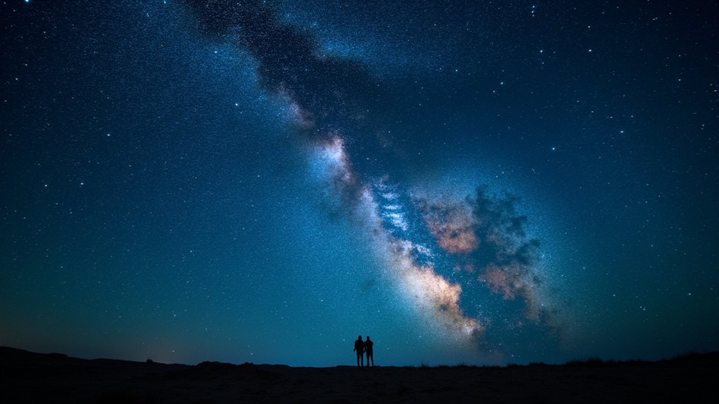
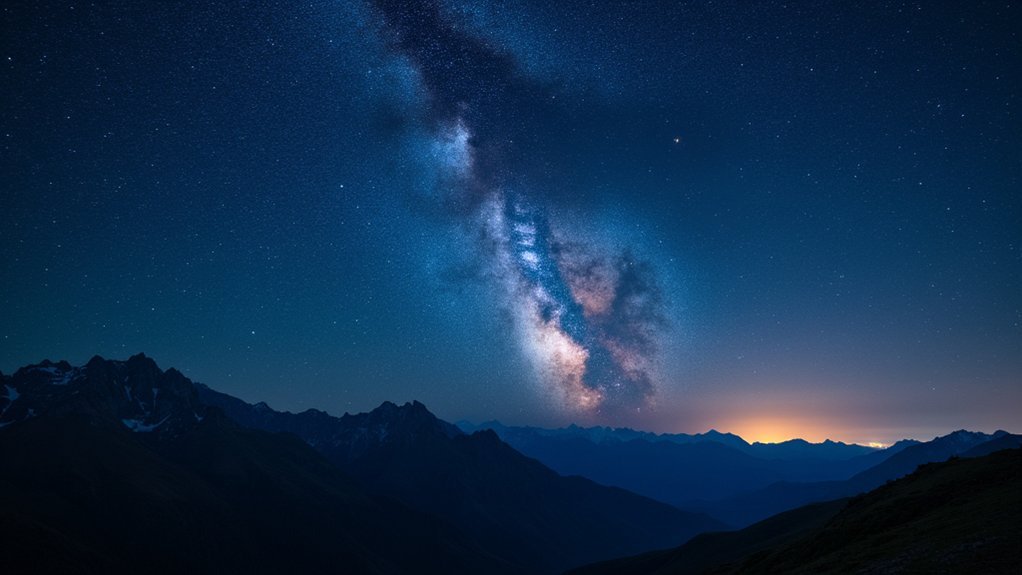
For ideal stargazing experiences, you’ll want these seven top light pollution apps: Light Pollution Map – Dark Sky for its accuracy and aurora alerts, SkySafari 7 Pro for extensive celestial databases, PhotoPills for offline planning capabilities, Clear Dark Sky for specialized viewing metrics, SkyView Lite for beginner-friendly AR interface, Dark Site Finder for pinpointing pristine viewing locations, and SpaceWeatherLive for real-time atmospheric monitoring. Discover how each tool can transform your cosmic observations below.
Light Pollution Map – Dark Sky: The Ultimate Companion for Astronomers
Five essential features make the Light Pollution Map – Dark Sky app indispensable for serious stargazers.
Its highly accurate, customizable light pollution map helps you locate the darkest skies for ideal viewing conditions. When you’re hunting for aurora borealis, you’ll appreciate the live visibility maps for both hemispheres.
Planning your night sky observations becomes effortless with detailed moon information, including phases and rise/set times, plus a direction tool to maximize your viewing experience.
The darkness countdown timer alerts you to the night’s darkest period—perfect for capturing celestial events without light interference.
With a strong 4.7/5 user rating, this Dark Sky map application stands out as a thorough tool for finding pristine viewing locations, though some users note regional inaccuracies in the light pollution data.
Skysafari 7 Pro: Advanced Celestial Navigation With Light Pollution Overlays
SkySafari 7 Pro’s premium features include an impressive database of over 100 million stars and telescope control capabilities that’ll transform your stargazing experience.
You’ll appreciate the app’s real-time light pollution visualization overlays that clearly show how urban lighting affects celestial visibility in your area.
These overlays work offline, allowing you to identify ideal viewing locations even when you’re in remote areas without data connectivity.
Premium Features Worth Exploring
While many stargazing apps offer basic functionality, serious astronomers will find exceptional value in the premium features of SkySafari 7 Pro.
You’ll gain access to an impressive database of over 100 million stars, 3 million galaxies, and 750,000 solar system objects—essential resources for any astrophotographer.
The app’s sophisticated celestial navigation tools allow you to overlay light pollution data on sky maps, instantly enhancing your stargazing experience by identifying ideal viewing conditions.
The telescope control capability lets you remotely operate various telescope models, making it easier to locate celestial objects in light-polluted areas.
You’ll also benefit from the detailed event calendar that factors in local light pollution levels when alerting you to upcoming celestial events, helping you plan observations more effectively—even from challenging urban locations.
Real-Time Pollution Visualization
The centerpiece of SkySafari 7 Pro’s advanced functionality is its revolutionary real-time light pollution visualization system. You’ll immediately notice how the app overlays pollution data across your viewing area, helping you identify ideal stargazing locations based on sky clarity.
| Feature | Benefit | User Experience |
|---|---|---|
| 100M+ star database | Extensive coverage | Detailed celestial mapping |
| Customizable filters | Focus on dark sky areas | Personalized viewing |
| Telescope control integration | Targeted navigation | Enhanced observation |
When you’re planning your next observation session, you’ll appreciate how the real-time visualization highlights areas with minimal light pollution. The app’s intuitive interface lets you toggle between different data layers while maintaining telescope control functionality. This combination makes SkySafari 7 Pro indispensable for serious astronomers seeking pristine skies for their stargazing adventures.
PhotoPills: Perfect Planning for Astrophotography in Dark Sky Locations
For serious astrophotographers seeking to capture stunning night sky images, PhotoPills stands as an indispensable companion that elevates planning to an art form.
This powerful app works offline, allowing you to venture into remote dark sky locations while maintaining full functionality without internet access.
PhotoPills transforms your stargazing and celestial event photography with:
PhotoPills elevates your celestial photography from guesswork to precision, revealing the night sky’s secrets through thoughtful planning and visualization.
- A thorough planning system that tracks solar and lunar eclipses through 2050
- Augmented reality modes that visualize celestial object positions in real-time
- Location-specific tools that identify ideal shooting spots based on celestial events
Whether you’re a beginner or experienced astrophotographer, the app’s integrated tutorials and guides help you master night sky photography techniques while its planning features guarantee you’ll never miss prime shooting opportunities.
Clear Dark Sky: Weather and Light Pollution Forecasting for Optimal Viewing
When planning your stargazing adventures, Clear Dark Sky emerges as an essential tool that combines precise weather forecasting with extensive light pollution data to maximize your viewing potential.
The app provides specialized metrics critical for astronomers, including transparency and seeing conditions that directly impact your night sky observations.
You’ll appreciate the hourly and daily weather forecasts that help you schedule stargazing sessions around ideal viewing windows.
The app’s user-friendly interface displays detailed light pollution data, enabling you to identify locations with minimal light interference—crucial for spotting fainter celestial objects.
Whether you’re an amateur or professional astronomer, Clear Dark Sky aggregates information from multiple meteorological sources to deliver accurate predictions, ensuring you’ll never miss prime stargazing opportunities due to unexpected weather changes or poor visibility conditions.
SkyView Lite: Accessible Light Pollution Tracking for Beginners
SkyView Lite stands out as a beginner-friendly alternative that addresses light pollution challenges through an approachable augmented reality interface. This free app helps you identify celestial objects in the night sky without requiring Wi-Fi or GPS—perfect for backcountry stargazing where light pollution is minimal.
What makes SkyView Lite essential for tracking light pollution:
- Simple navigation with an intuitive interface that displays current light pollution levels while you locate stars and planets.
- Time-travel function allowing you to compare sky visibility across different dates and locations to find ideal viewing conditions.
- Event reminders for astronomical occurrences, helping you plan stargazing sessions when light pollution won’t interfere with visibility.
The app’s straightforward light pollution tracking feature helps you quickly identify the best locations for clear views of the night sky.
Dark Site Finder: Locating and Navigating to Prime Stargazing Spots
Finding pristine dark skies becomes remarkably straightforward with Dark Site Finder, an essential app for serious stargazers battling light pollution.
The interactive map color-codes areas based on light pollution levels, helping you quickly identify prime spots for ideal viewing experiences.
You’ll appreciate how the app displays real-time weather conditions and forecasts, allowing you to plan outings when atmospheric clarity promises the best stargazing opportunities.
By zooming in on specific regions, you can pinpoint individual light sources that might interfere with your viewing experience.
Identify potential viewing disruptions by examining detailed area maps that reveal problematic light sources in your chosen observation zone.
Whether you’re a novice or experienced observer, Dark Site Finder’s user-friendly interface makes navigation intuitive.
The detailed categorization of locations by darkness levels guarantees you’ll always find the best possible viewing conditions within your travel range.
SpaceWeatherLive: Monitoring Atmospheric Conditions for Better Visibility
SpaceWeatherLive keeps you informed about real-time aurora activity, helping you determine the best times for stargazing.
You’ll receive instant solar activity alerts that predict potential northern lights displays in your area.
The app’s night mode guarantees your device won’t interfere with your adapted night vision while you’re checking atmospheric conditions.
Real-Time Aurora Tracking
While gazing at the night sky, many stargazers dream of witnessing the ethereal dance of the aurora borealis. SpaceWeatherLive turns this dream into reality by providing real-time aurora tracking to help you catch these elusive light shows.
The app’s night mode preserves your eyes’ dark adaptation while you monitor atmospheric conditions.
Planning stargazing trips becomes considerably easier when you can:
- Receive alerts about heightened solar activity that triggers auroras
- View detailed maps showing potential sighting locations based on current conditions
- Determine ideal times for viewing based on atmospheric data
Though the app requires Wi-Fi or cellular service to function properly, its all-encompassing tracking capabilities make it an essential tool for aurora enthusiasts.
You’ll never miss another northern lights display with this atmospheric monitoring companion at your fingertips.
Solar Activity Alerts
Three critical solar activity indicators drive SpaceWeatherLive’s extensive alert system, helping you prepare for ideal stargazing conditions.
The app’s real-time tracking constantly monitors geomagnetic storms that enhance aurora visibility, sending you notifications when conditions become favorable.
You’ll appreciate how SpaceWeatherLive provides precise measurements of solar flares and coronal mass ejections that affect Earth’s atmosphere.
The user-friendly interface displays color-coded maps of auroral activity, instantly showing where your chances of spectacular sightings are highest.
For nighttime use, activate the app’s night mode to preserve your eyes’ dark adaptation while checking predicted activity levels.
Remember that Wi-Fi or cellular service is required for these features to function properly, ensuring you’re always connected to the latest atmospheric data during your stargazing adventures.
Frequently Asked Questions
What Is the Most Accurate Stargazing App?
The “Light Pollution Map – Dark Sky” app offers you highly accurate light pollution mapping with a 4.7/5 user rating. You’ll find ideal stargazing locations while utilizing features like darkness countdowns and aurora visibility maps.
Is There an App That Measures Light Pollution?
Yes, the “Light Pollution Map – Dark Sky” app measures light pollution. You’ll find it displays real-time data, temperature, and cloud coverage. It includes a darkness countdown timer for ideal stargazing times.
Can You Still See Stars With Light Pollution?
Yes, you can still see stars with light pollution, but you’ll notice fewer of them. Brighter stars and major constellations remain visible even in moderately light-polluted areas, though fainter objects will be washed out.
What Is the Difference Between Viirs and World Atlas Light Pollution?
VIIRS provides real-time satellite data with 750-meter resolution, updated frequently. The World Atlas combines satellite and ground measurements with additional context like population density, offering a thorough but less current global view.
In Summary
With these seven light pollution apps in your toolkit, you’re now equipped to elevate your stargazing experience. Whether you’re a beginner or seasoned astronomer, you’ll find options tailored to your needs. Download your favorites, escape the city glow, and rediscover the wonders of a truly dark night sky. You’ll never have to wonder where to find the best stargazing spots again.


Leave a Reply