
Ancient night sky travelers used seven reliable methods: North Star navigation for true direction, constellation mapping as celestial roadmaps, lunar phases for timing, star pair alignment for position calculation, horizon measurement to determine latitude, seasonal star patterns for annual planning, and cross-staff techniques to measure celestial angles. These methods enabled explorers to venture confidently across vast oceans without modern technology. Discover how these ingenious techniques transformed human exploration and still influence navigation today.
The North Star Method: Finding True Direction
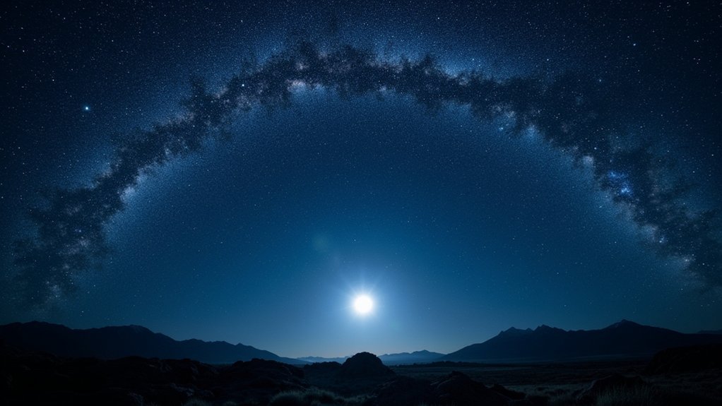
While many stars dance across the night sky as Earth rotates, the North Star remains steadfast as humanity’s most reliable celestial compass. Known as Polaris, this exceptional celestial body sits almost directly above the North Pole, providing you with true north regardless of your location in the Northern Hemisphere.
Ancient navigation techniques relied heavily on the North Star’s unique properties. When you measure the angle between Polaris and the horizon, you’re actually determining your latitude—a critical piece of information for seafarers.
Vikings and Greeks mastered this method, using primitive sextants to calculate their position while crossing vast oceans. Unlike its neighboring stars, the North Star appears fixed in place, offering you a constant reference point that ancient civilizations trusted to guide their voyages through darkness.
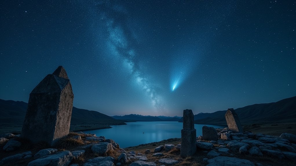
Constellation Orientation: Celestial Road Maps
Beyond the solitary guidance of Polaris, ancient mariners mapped the entire sky into recognizable patterns that served as their celestial atlases. These star groupings formed a thorough framework for celestial navigation across cultures.
When you sailed the Mediterranean or traversed the Pacific, you’d rely on these cosmic signposts to maintain your course.
Ancient civilizations developed sophisticated methods to interpret the night sky:
- Position tracking – Measuring the angle between stars and the horizon to determine your latitude
- Circumpolar observation – Following stars that never set to maintain consistent direction through the night
- Regional adaptation – Using constellations specific to your hemisphere (Ursa Major in the north, Southern Cross in the south)
You’d find these techniques documented in navigational texts spanning from Greek explorers to Polynesian wayfinders.
Lunar Phases for Tracking Time and Direction

You’ll find ancient mariners relied on the moon’s predictable 29.5-day cycle to track seasonal changes and plan voyages across vast waters.
The moon’s phases offered navigational clues—from the full moon’s illumination of coastal landmarks to the crescent moon’s directional orientation in the western sky.
These lunar observations created reliable nocturnal timing systems, allowing travelers to determine not only when to journey but also which direction to follow under the night sky.
Moon Cycles Through Seasons
Ancient navigators relied heavily on the moon’s predictable 29.5-day cycle to track time and determine direction during nighttime journeys.
These navigational methods connected seasonal changes with moon cycles, allowing travelers to establish reliable patterns regardless of weather conditions.
You can interpret moon cycles through seasons by understanding three key principles:
- The moon’s position against seasonal constellations shifts predictably, creating a celestial calendar that ancient navigators memorized for long voyages.
- During winter, the moon travels higher across the night sky, providing extended illumination for northern hemisphere travelers.
- Seasonal agricultural markers linked to specific moon phases (harvest moon, hunter’s moon) helped travelers coordinate journeys with ideal weather and resource availability.
Phase-Based Direction Finding
While moon cycles provided a seasonal framework for navigation, the specific phases of the moon offered even more precise navigational tools. You’d find ancient sailors relying on the 29.5-day lunar cycle as a natural calendar to track time and plan their voyages across open waters.
By observing the moon’s position in the night sky relative to specific constellations, you could determine your latitude and maintain your course. When clouds obscured other celestial bodies, the moon’s alignment with cardinal points during different phases gave you critical directional cues.
Polynesian seafarers mastered this technique, using lunar phases not only for long-distance navigation but also to guide agricultural activities. The changing position of the moon allowed you to estimate the time of night and adjust your course accordingly.
Nocturnal Timing Systems
Beyond mere orientation points, lunar phases formed sophisticated timing systems that ancient navigators relied upon for both temporal awareness and directional guidance.
When you’re at sea without modern instruments, the moon’s predictable 29.5-day cycle becomes your calendar, allowing you to track time alongside the movements of the sun and stars and constellations.
Lunar navigation provided three essential functions:
- Time measurement – The moon’s four distinct phases helped sailors estimate passage of days and seasons.
- Positional reference – You could determine your relative position by observing the moon’s location against familiar star patterns.
- Tidal prediction – By tracking lunar phases, navigators anticipated tidal changes, vital for safe harbor approaches.
The Polynesians masterfully combined these lunar observations with stellar positioning, scheduling their voyages to coincide with ideal lunar conditions for successful long-distance travel.
Star Pair Alignment: Calculating Position
You’ll need to master two essential techniques when using star pairs for navigation: identifying reference stars and measuring their angular separation.
By holding your outstretched hand against the night sky, you can estimate angles between stars and the horizon—each finger width represents approximately two degrees.
These measurements, when compared to navigational charts, will reveal your latitude and help determine your position on Earth’s surface with surprising accuracy.
Star Pair Measurement Techniques
Ancient navigators developed sophisticated methods for determining position through careful observation of the night sky. They mastered star pair measurement techniques that allowed them to calculate their exact location on Earth’s surface using celestial relationships.
With astronomical knowledge passed down through generations, they could precisely determine latitude by measuring angular distances between stars.
You can understand these ancient methods through three key practices:
- Measuring the angle between two prominent stars (like Polaris and nearby constellations) using tools such as astrolabes or sextants.
- Observing the elevation of specific star pairs above the horizon to determine latitude.
- Tracking star pair movements throughout the night to maintain accurate course corrections.
This celestial navigation enabled reliable long-distance travel without modern technology, demonstrating our ancestors’ remarkable ingenuity.
Horizon-to-Star Distance Calculation
Three fundamental principles underlie the ancient technique of horizon-to-star distance calculation. First, you’ll need to measure the star’s altitude above the horizon using your fist or specialized tools. Second, you must account for your latitude, as celestial bodies appear at different elevations depending on your position. Third, you’ll need to recognize the continuous movement of stars across the night sky.
| Measurement | Navigation Tool | Accuracy |
|---|---|---|
| Altitude | Astrolabe | High |
| Azimuth | Kamal | Moderate |
| Star Pairs | Cross-staff | Good |
| Constellations | Nocturnal | Variable |
When calculating horizon-to-star distances, you’re fundamentally triangulating your position. By measuring angles between prominent stars and the horizon, you’ll establish your location with remarkable precision—a technique that guided ancient mariners across vast oceans without modern instruments.
Horizon Measurement: Determining Latitude
When charting a course by the stars, your position on Earth’s north-south axis can be determined through the ancient practice of horizon measurement. Seafarers used celestial observations, particularly Polaris in the northern hemisphere, to identify their latitude. By measuring the angle between the horizon and Polaris, you’ll discover your distance from the equator—the star’s elevation directly corresponds to your latitude.
Ancient navigators who mastered horizon measurement relied on three key principles:
- Observing circumpolar stars that remain consistently visible
- Measuring stellar elevations using specialized instruments
- Accounting for Earth’s precession to maintain accuracy over decades
This technique allowed mariners to maintain reliable navigation even when landmarks disappeared. The stars to travel by remained constant companions, making horizon measurement an indispensable skill for voyages across vast, featureless oceans.
Seasonal Star Patterns: Annual Navigation Cycles

Throughout the millennia, celestial cycles have provided reliable navigation frameworks that ancient mariners depended upon for timing their voyages. You’ll find that navigators meticulously tracked seasonal star patterns to determine ideal travel periods, ensuring safer journeys across vast waters.
| Celestial Marker | Navigation Function |
|---|---|
| Pleiades | Indicated planting/harvesting times |
| Southern Cross | Primary orientation in Southern Hemisphere |
| Solstices | Marked extreme seasonal points |
| Equinoxes | Signaled shifting seasons |
| Festival Stars | Aligned with cultural celebrations |
When you use celestial references like these, you’re tapping into ancient wisdom that synchronized human activity with cosmic cycles. The movement of the sun during solstices and equinoxes established essential annual navigation timelines, while constellation visibility changes throughout the year provided reliable calendars for voyagers planning expeditions and trade routes.
Cross-Staff Technique: Measuring Celestial Angles
Ancient mariners relied on a remarkably simple yet effective tool called the cross-staff to determine their position at sea.
When you used this navigation instrument, you’d position the main staff at eye level while sliding the crosspiece until it perfectly aligned with both the horizon and your chosen celestial body.
This technique revolutionized maritime exploration from the 15th to 17th centuries before the sextant’s invention.
You’d follow these key steps:
- Hold the staff’s end at eye level, keeping it steady
- Adjust the movable crosspiece along the staff until it spans from horizon to star
- Read your latitude directly from the calibrated scale on the staff
Though less precise than later instruments, the cross-staff provided essential positional information that empowered explorers to venture farther from shore than ever before.
Frequently Asked Questions
How Did Ancient Civilizations Use the Night Sky?
You’d find ancient peoples steering by stars like the Phoenicians with Ursa Major, Greeks using sundials, Polynesians observing Pleiades, Incas timing agriculture by celestial movements, and Vikings using Sunstones during cloudy conditions.
What Is the Best Way to Learn the Night Sky?
Begin with familiar constellations and use star charts or apps to identify celestial bodies. Practice locating Polaris for orientation. Join stargazing groups to share knowledge, and explore ancient navigation techniques to deepen your understanding.
How Do Different Cultures See the Night Sky?
You’ll find that different cultures interpret the night sky through unique mythologies – Greeks with their gods, Incas with sacred animals, while Polynesians, Maori, and Egyptians used stars for navigation and agricultural timing.
How Did People Travel by Stars?
You’d track Polaris to determine latitude, observe circumpolar stars for direction, and measure celestial bodies’ angles above the horizon. Vikings used Sunstones on cloudy days, while Mediterranean sailors relied on constellations like Ursa Major.
In Summary
Looking up at the night sky, you’re now connected to a tradition that spans millennia. You’ve discovered how ancient travelers found their way using nothing but celestial objects. Whether you’re steering by Polaris, tracking lunar phases, or measuring stellar angles, you’re practicing skills that guided explorers long before GPS. These time-tested methods don’t just help you find your way—they link you to our collective human journey.


Leave a Reply